



Dolina Krma - Triglav (General)
Mimo Kredarice
6 h 0 min




 Weather
 Nearest webcam
| Rating: | |
| Country: | Slovenia |
| Mountain range: | Julian Alps |
| Trailhead: | Dolina Krma (930 m) |
| Destination: | Triglav (2864 m) |
| Trailhead latitude/longitude: | 46.385 / 13.9072 |
| Destination latitude/longitude: | 46.3783 / 13.8366 |
| Difficulty: | Very difficult marked route  |
| Recommended equipment: | Hiking poles Hiking shoes Water Snack Helmet Self-protection kit |
From Ljubljana, take the motorway towards Gorenjska. Take the exit for Jesenice Zahod and turn left towards Kranjska Gora. Before the village of Dovje, turn left towards Mojstrana and follow the road a little further to the left again towards the Krma and Kot valleys. Radovna turn right onto the macadam road and continue along it for a longer distance, following the signs for the two valleys. Pass the Kovinarska hut and continue on to a large car park, where you park.
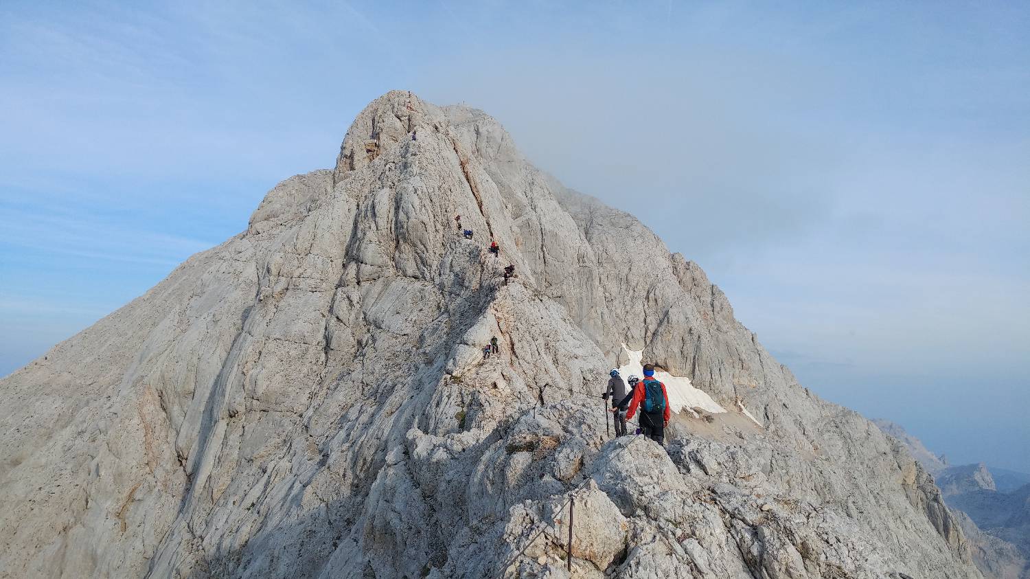
Trail description:Continue on foot past the wooden lock along a slightly wider forest path, which is initially flat, but soon begins to climb moderately. After the first climb, the path leaves the forest, after which we have wonderful views of the high mountains. Continue along the ascending path, which first crosses a small meadow and shortly afterwards a larger clearing, after which the path begins to climb more steeply. The steep ascent is broken once more in between, crossing a wooden hut on a small mountain. Shortly after the hut, you will reach a fork where you turn left towards Kurica. After the fork, the path becomes even steeper and a little more difficult, as you have to climb up a rocky area. After crossing the more difficult part, the path straightens out and continues past the heath to the next crossroads, at which you turn right towards Kredarić. In a zigzag pattern, the path begins to climb moderately on the rough terrain all the way to Kredarica. Continue along the right-hand side of the hut, behind which you will find a signpost pointing to the left towards Triglav. The path immediately starts to climb steeply on the rocks. From here on, the path becomes technically more difficult and protected by the zajlami. First we climb up to Little Triglav, followed by a short descent and then the final climb up Triglav.
Additional tips:No additional tips.
![[object Object] - [object Object] main photo](https://api.mountainsgeek.com/media/20180729_081852_HDR_PHUWfpG.jpg)
![[object Object] - [object Object] main photo](https://api.mountainsgeek.com/media/20180729_064309_HDR_HPzzRHc.jpg)


