



Solarij - Na Gradu (Kolovrat) (General)
Čez Italijo
0 h 40 min




 Weather
 Nearest webcam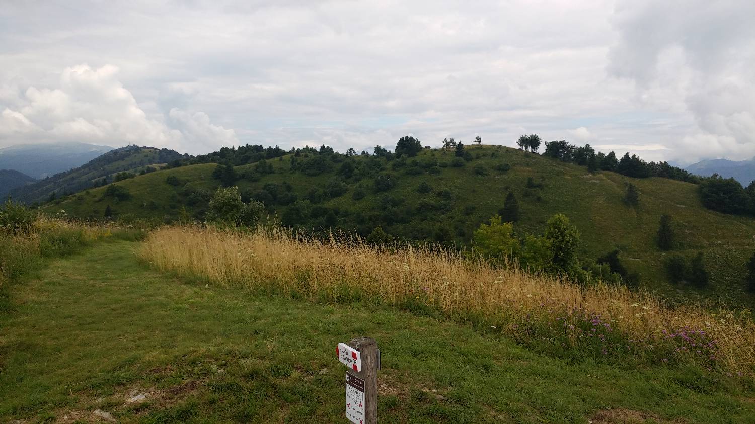
| Rating: | |
| Country: | Slovenia, Italy |
| Mountain range: | The Goriška, Notranjska, and Snežnik Mountain Ranges |
| Trailhead: | Solarij (952 m) |
| Destination: | Na Gradu (Kolovrat) (1115 m) |
| Trailhead latitude/longitude: | 46.1805 / 13.6677 |
| Destination latitude/longitude: | 46.1836 / 13.6595 |
| Difficulty: | Easy marked route  |
| Recommended equipment: | Hiking shoes |
From Tolmin, head towards Bovec. Shortly after the bridge crossing the Soča River, you will come to a roundabout where you take the second exit. Continue through the village of Volče and look out for the signpost for the Solari Pass, which points to the right onto the ascending road. Continue along this road for a considerable distance until you reach Solari, where there is a fork in the road. Turn left here and park in the large car park.
Trail description:From the car park, turn left onto the asphalt road and follow it to the right until you reach a major fork, where you keep right, signposted for Italy. Continue walking along the road until you reach the Italian border, where you will come to another crossroads and keep right again. The road will soon lead you to a forest track on your right, which you turn onto. Climb up it and after about ten minutes you will be standing at the top of the path.
Additional tips:No additional tips.
![[object Object] - [object Object] main photo](https://api.mountainsgeek.com/media/20171126_135945.jpg)
![[object Object] - [object Object] main photo](https://api.mountainsgeek.com/media/20180722_111553_JhXdJGr.jpg)
![[object Object] - [object Object] main photo](https://api.mountainsgeek.com/media/20180722_111601.jpg)


