



Grahovše - Dom pod Storžičem (General)
1 h 30 min




 Weather
 Nearest webcam
| Rating: | |
| Country: | Slovenia |
| Mountain range: | Kamnik-Savinja Alps |
| Trailhead: | Grahovše (800 m) |
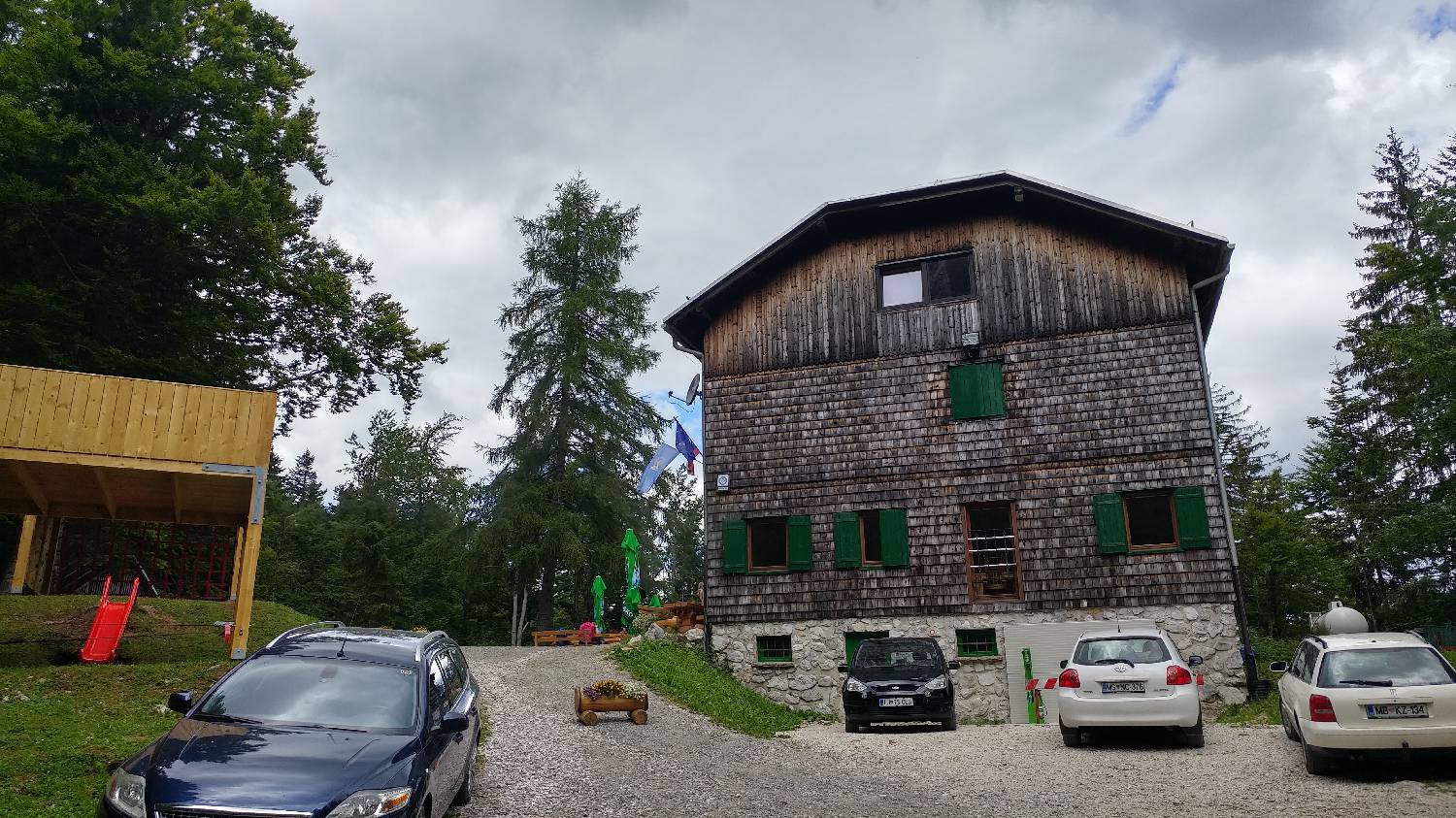
| Destination: | Dom pod Storžičem (1123 m) |
| Trailhead latitude/longitude: | 46.3657 / 14.3536 |
| Destination latitude/longitude: | 46.3593 / 14.3898 |
| Difficulty: | Easy marked route  |
| Recommended equipment: | Hiking shoes |
From Ljubljana, drive to Tržič and continue through Tržič, past Lom pod Storžičem to Grahovšči. Park at the quarry car park.
Trail description:Continue on foot along the road, which will be asphalt at first. At the last houses, keep left, which will also be indicated by the signpost for the Rekar Tourist Farm. Soon the road will turn to gravel and we will reach the crossroads again. Keep to the right, where you will also be directed by the signpost to Dom pod Storžičem. From here on, it is about a 1-hour walk along a fairly flat, macadam road and you will reach Dom pod Strožičem.
Additional tips:No additional tips.
![[object Object] - [object Object] main photo](https://api.mountainsgeek.com/media/20180707_101446.jpg)


