



Bistriška planina - Koča na Dobrči (General)
1 h 30 min




 Weather
 Nearest webcam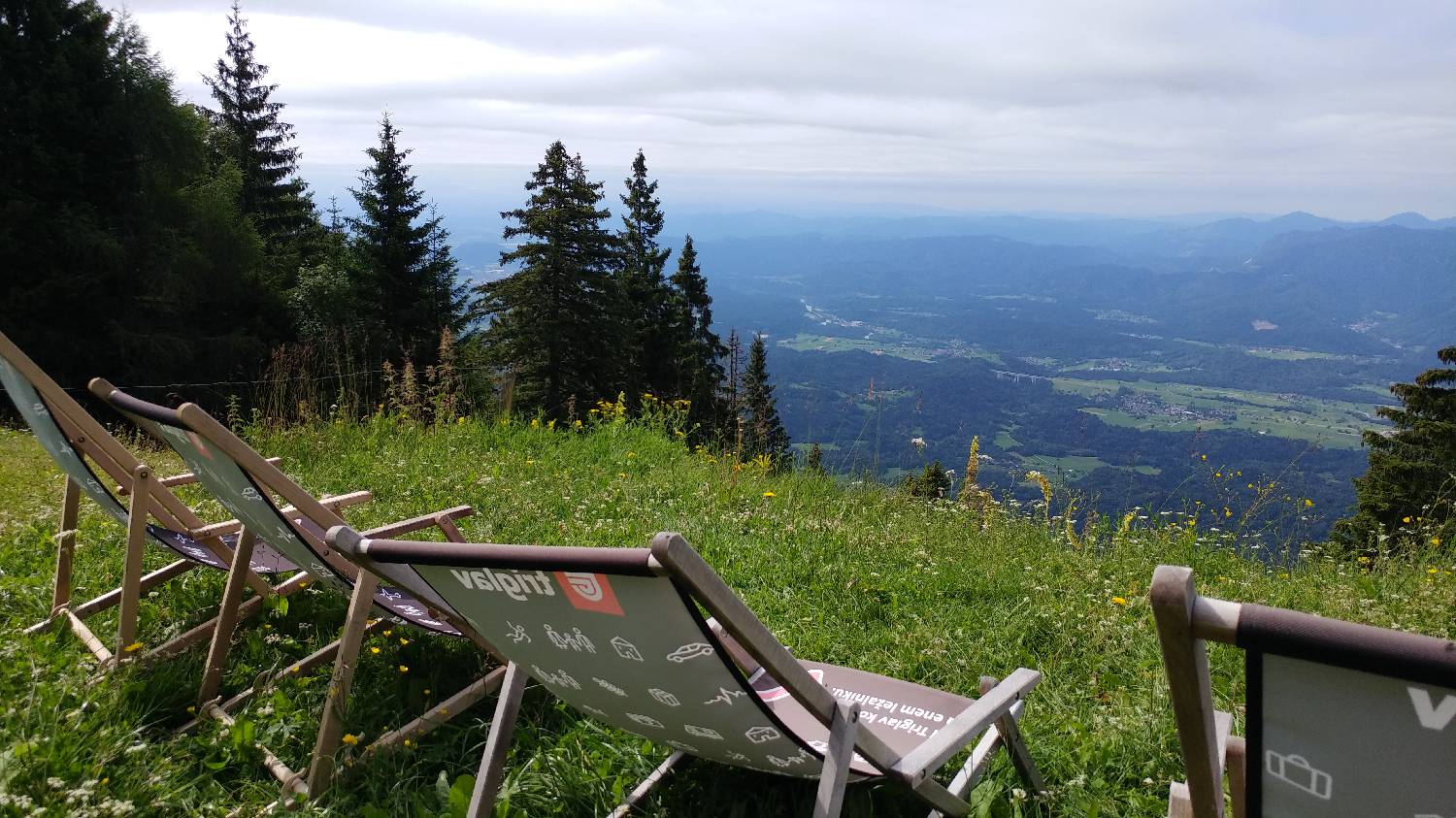
| Rating: | |
| Country: | Slovenia |
| Mountain range: | Kamnik-Savinja Alps |
| Trailhead: | Bistriška planina (1057 m) |
| Destination: | Koča na Dobrči (1478 m) |
| Trailhead latitude/longitude: | 46.3792 / 14.2743 |
| Destination latitude/longitude: | 46.3762 / 14.2462 |
| Difficulty: | Easy marked route  |
| Recommended equipment: | Hiking poles Hiking shoes Water |
Take the motorway towards Jesenice and turn out at the exit for Celovec / Tržič. From here, continue along the road to Bistrica near Tržič, past the police station and Petrol, and shortly after Petrol turn left, towards Begunje na Gorenjskem. At the next major crossroads, keep to the direction of Begunj and turn right. From here, a longer drive along this road will take you to Brezje pri Tržiču. Shortly after entering the village, a road will branch off to the right, where you turn. The road becomes quite bad, and we follow it for a longer time all the way to Bistriška planina, which is located in the forest. We park here.
Trail description:Continue on foot along the macadam road, where you will also be directed by the signpost for Dobrčo. The road bypasses a small cottage and continues into the forest. It climbs moderately at first, but soon turns sharply to the right and starts to climb steeply. At the end of the long steep climb, a wooden barrier is waiting for us on the road, which we go around and we will be standing at the crossroads of the route. The path to Lešanská planina branches off to the right, and we continue walking to the left. From here on, the ascent is slightly more gentle. Soon another path will join us from the left, and here the forest will cross for a few tens of metres and we will enjoy a beautiful view. Continue walking back into the forest, where you will notice a signpost pointing to the left towards the Dobrča Cottage. The path is laid here and so continues through the forest, onto the meadow and across it, all the way to the hut hidden behind a small grove.
Additional tips:No additional tips.
![[object Object] - [object Object] main photo](https://api.mountainsgeek.com/media/20180701_102906_1w68NFq_2qrflZu.jpg)


