



Solkan - Sabotin (General)
Južna pot
1 h 30 min




 Weather
 Nearest webcam
| Rating: | |
| Country: | Slovenia |
| Mountain range: | The Goriška, Notranjska, and Snežnik Mountain Ranges |
| Trailhead: | Solkan (94 m) |
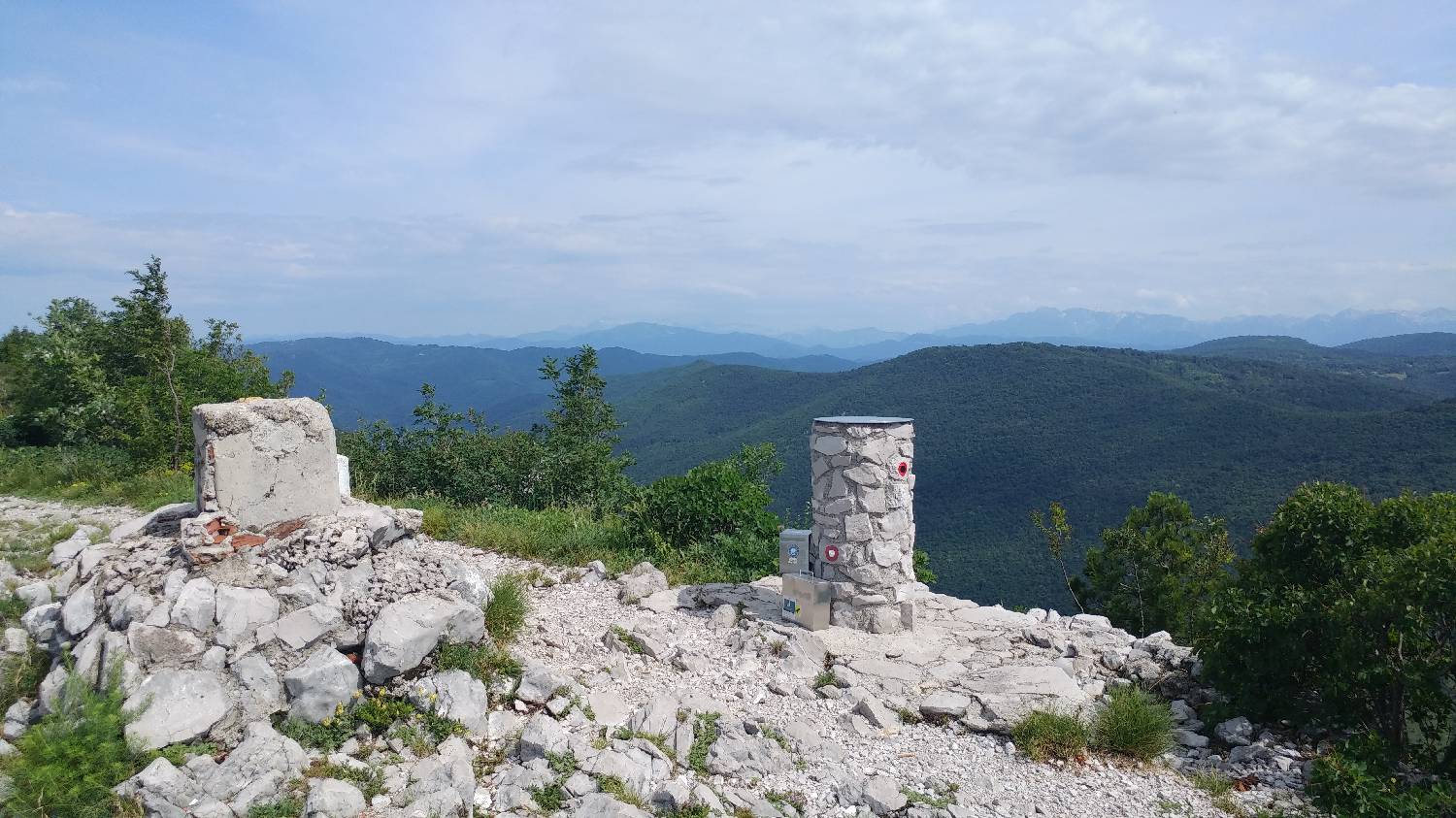
| Destination: | Sabotin (609 m) |
| Trailhead latitude/longitude: | 45.9751 / 13.6484 |
| Destination latitude/longitude: | 45.9884 / 13.6348 |
| Difficulty: | Easy marked route  |
| Recommended equipment: | Hiking poles Water |
If you are coming from Ljubljana on the motorway, take the exit for Nova Gorica and drive into the city. Continue driving towards Tolmin. Be careful when you reach Solkan. Drive through Solkan until you reach a large car park on your left, just before the famous Solkan Bridge. If you are driving from Tolmin towards Nova Gorica, in the village of Solkan, look out for a larger car park on your right, just after the famous Solkan Bridge.
Trail description:Park in the car park and continue on foot across the Solkanski Most bridge and then along the outskirts of the road, which begins to climb. After about 10 minutes of walking, you will see a path on your left that turns into the forest. Climb up the steep path, which crosses the road again shortly after turning into the forest. From here on, follow the markings, which take us up a rather steep and rocky path to a small meadow, on which there is a larger rocky inscription TITO. Here we also get a nice view of Gorizia. The walk then continues through a small wood and soon you will reach the top of the ridge, where the ruins of St Valentine are located. From here, we continue along the path, which runs along a sloping ridge, along which border stones are densely placed, and we can admire the Soča River to our left at all times. Our destination is at the end of this ridge, which will take us about 20 minutes.
Additional tips:No additional tips.
![[object Object] - [object Object] main photo](https://api.mountainsgeek.com/media/20180609_101917_B7xA4N4.jpg)
![[object Object] - [object Object] main photo](https://api.mountainsgeek.com/media/IMG_20220416_114358.jpg)


