



Planina Kuk (Podkuk) - Koča na Planini Razor (General)
1 h 0 min




 Weather
 Nearest webcam
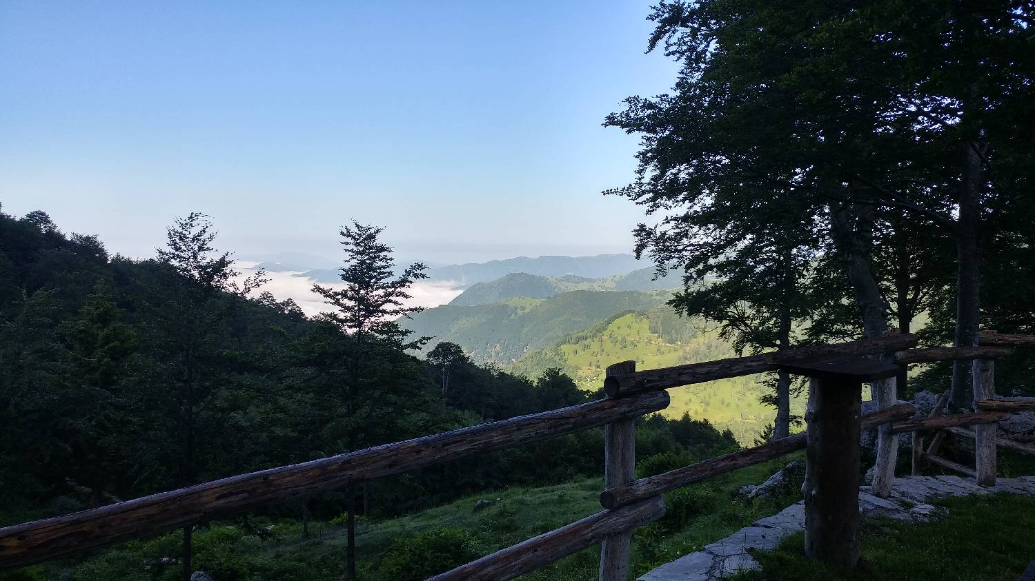
| Rating: | |
| Country: | Slovenia |
| Mountain range: | Julian Alps |
| Trailhead: | Planina Kuk (Podkuk) (1116 m) |
| Destination: | Koča na Planini Razor (1315 m) |
| Trailhead latitude/longitude: | 46.2116 / 13.787 |
| Destination latitude/longitude: | 46.2357 / 13.7932 |
| Difficulty: | Easy marked route  |
| Recommended equipment: | Hiking shoes Water |
From Tolmin, drive towards the village of Poljubin and on to Ljubinje. In the village of Ljubinj, shortly after the Church of St. Michael, turn left onto a narrow, winding, ascending road that will take you past the Huts on Stador Mountain and Lom Mountain. Continue driving along the main road until you reach the next mountain, which will be our starting point - Planina Kuk. Park just in front of the mountain in the car park located by the road.
Trail description:Continue on foot through the fence, next to which there is a signpost for Planini Razor and Podkuk. Soon, Planina Kuk and a beautiful view of our summit will open up in front of us. Continue along the road, which begins to climb behind the huts. The path will fork at a sharp bend - here keep to the left, the main path. It soon straightens out and turns into the forest. Continue through the forest for a longer time on the level ground until you reach a signpost pointing right into the forest - towards the cottage on Planina Razor. There is only a short climb through the forest and we will reach our destination.
Additional tips:No additional tips.
![[object Object] - [object Object] main photo](https://api.mountainsgeek.com/media/IMG_20191110_113930_YuR3X9p.jpg)
![[object Object] - [object Object] main photo](https://api.mountainsgeek.com/media/IMG_20191110_113549.jpg)
![[object Object] - [object Object] main photo](https://api.mountainsgeek.com/media/20180603_110332.jpg)
![[object Object] - [object Object] main photo](https://api.mountainsgeek.com/media/20180603_110228.jpg)
![[object Object] - [object Object] main photo](https://api.mountainsgeek.com/media/IMG_20191110_113930_nQ7Bub8.jpg)


