



Mala voda - Kožljek (General)
1 h 15 min




 Weather
 Nearest webcam
| Rating: | |
| Country: | Slovenia |
| Mountain range: | The Polhograj Hills and Ljubljana |
| Trailhead: | Mala voda (420 m) |
| Destination: | Kožljek (788 m) |
| Trailhead latitude/longitude: | 46.0455 / 14.2709 |
| Destination latitude/longitude: | 46.0345 / 14.2552 |
| Difficulty: | Easy unmarked route  |
| Recommended equipment: | Hiking shoes Water |
First, let’s drive to Polhov Gradec, and from there, continue toward Gorenja vas. Once we pass through the village of Briše, keep an eye out for the road signs—between the 4 km and 3.5 km markers, a road branches off to the left; we’ll turn onto it and drive across a small bridge. Immediately after the bridge, you’ll see a parking area along the road—that’s where we’ll park.
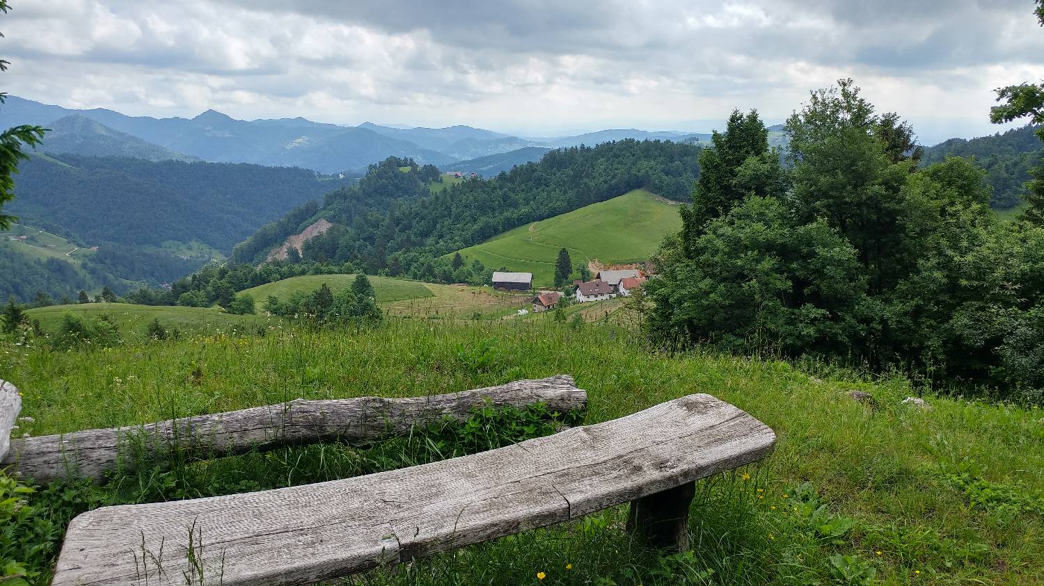
Trail description:We continue on foot along the gravel road, which is gentler at first but then begins to climb gradually. When we reach a major fork where two gravel roads branch off to the left and right, with a forest trail running between them, we stay on the left gravel road. The road descends slightly and then joins an asphalt road. Here, we turn right and continue to the next fork, where we turn left toward Samotorica. From here, continue along the path to a small cluster of houses, beyond which you’ll find an intersection where you turn right, as indicated by a sign for Kožljek and Samotorica. We continue along the road all the way to a wayside shrine, in front of which we turn right onto a grassy path. We climb up through the meadow to a small grove, where a small sign for Kožljek directs us. From here, we simply climb through the grove to the grassy summit.
Additional tips:No additional tips.


