



Gradišče pri Vipavi - Gradiška tura (General)
Furlanova pot
1 h 15 min




 Weather
 Nearest webcam
| Rating: | |
| Country: | Slovenia |
| Mountain range: | The Goriška, Notranjska, and Snežnik Mountain Ranges |
| Trailhead: | Gradišče pri Vipavi (250 m) |
| Destination: | Gradiška tura (793 m) |
| Trailhead latitude/longitude: | 45.8322 / 13.9709 |
| Destination latitude/longitude: | 45.8293 / 13.9796 |
| Difficulty: | Secured climbing route - ferrata  |
| Recommended equipment: | Hiking shoes Water Helmet Self-protection kit |
From the motorway, take the exit for Vipava. Continue on the road leading to Vipava and then on to Gradišče. When you get to Gradišče, drive straight ahead at first and you will soon reach a crossroads - turn left here (signpost for the campsite). Keep going up the narrow road for a while and keep following the signs for the campsite. When you reach the campsite, you will see a large car park in front of it. Park here.
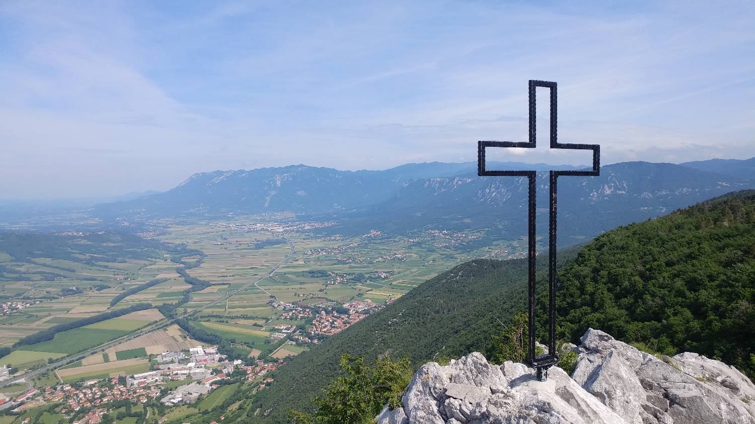
Trail description:On foot, turn towards the forest onto a narrow forest track, which is also signposted for a 75-minute hike. The trail starts to climb immediately and after about 5 minutes leads to a large fork where you turn left. You will come to a scree slope, which you cross, and then continue on the ascending path, turning left again at a fork where the rock has a large sign saying 'footpath' - right. Shortly after this you will come to the first protected climbing section. Climb it and you will reach a wooden balcony with a beautiful view of the valley. From here we continue on the second protected climbing section, which soon becomes a bit more difficult than the first part. After the more difficult part, the climb ends and is replaced by a forest path that climbs steeply up to the summit, which is about 20 minutes away.
Additional tips:No additional tips.
![[object Object] - [object Object] main photo](https://api.mountainsgeek.com/media/20180527_101116_5V5N2sU.jpg)


