



Zg. Sleme - Gladki vrh (Olševa) (General)
1 h 30 min




 Weather
 Nearest webcam
| Rating: | |
| Country: | Slovenia |
| Mountain range: | Karawanks |
| Trailhead: | Zg. Sleme (1308 m) |
| Destination: | Gladki vrh (Olševa) (1849 m) |
| Trailhead latitude/longitude: | 46.4447 / 14.7276 |
| Destination latitude/longitude: | 46.448 / 14.6983 |
| Difficulty: | Easy marked route  |
| Recommended equipment: | Hiking shoes Water |
From Ljubljana, take the motorway towards Gorenjska and turn out at the exit for Vodice. Continue on the main road all the way to Kamnik, where you follow the signs for Celje / Gornji Grad / Kamn. Bistrica. The road will soon flatten out and lead us right next to a forest and a steep hill on our right. There will be two successive semaphore-controlled crossroads. At the first one continue straight on, and at the second one turn left for Kamn. Bistrica and Velika planina. The road will lead you to a roundabout, at which you take the first exit. Continue driving along the main road for a longer distance, past Strahovica, Črna pri Kamniku, Podlom, Kališča, Podvolovjek, to the village of Luče, where you turn left at the crossroads, towards Solčava. The road will then lead us to Solčava, and we will continue along it to Podolševa. Here, look out for a major fork, where the signpost for Sv. Duh will point to the left, and we turn right. Continue along the road, past the Ošovnik farm and on, for a longer distance, to a larger fork, which you will recognise by the benches and table. We continue along the road on the left, which will lead us to a small car park, beyond which the road is littered with fallen trees. Park here and continue on foot.
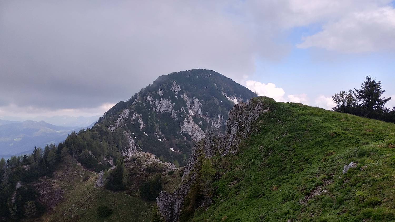
Trail description:Cross a larger fallen tree and continue for about 10 minutes on a partially overgrown track, which will lead us to a larger crossroads, where we join another path to Olševo from the right. We continue left along the path, which will lead us to a small meadow. Here, a signpost will direct us left onto a narrow path which we will follow back into the forest. It is about a 40-minute climb up a fairly steep slope. In the meantime, cross a small grassy section and pass a viewpoint overlooking the rocky part of the Olševa mountain range. The trail then passes out of the forest, and we follow it up to the intermediate summit, or the first summit of the Olševo ridge - Lepego vrch. From here we continue along the ridge, which is mostly flat. Along the way, you will come across a signpost pointing towards Olševa. From here it is only a few minutes' walk to our summit.
Additional tips:No additional tips.
![[object Object] - [object Object] main photo](https://api.mountainsgeek.com/media/20180519_093106_ZFjekTC.jpg)


