



Križovec - Mala Golica (General)
1 h 30 min




 Weather
 Nearest webcam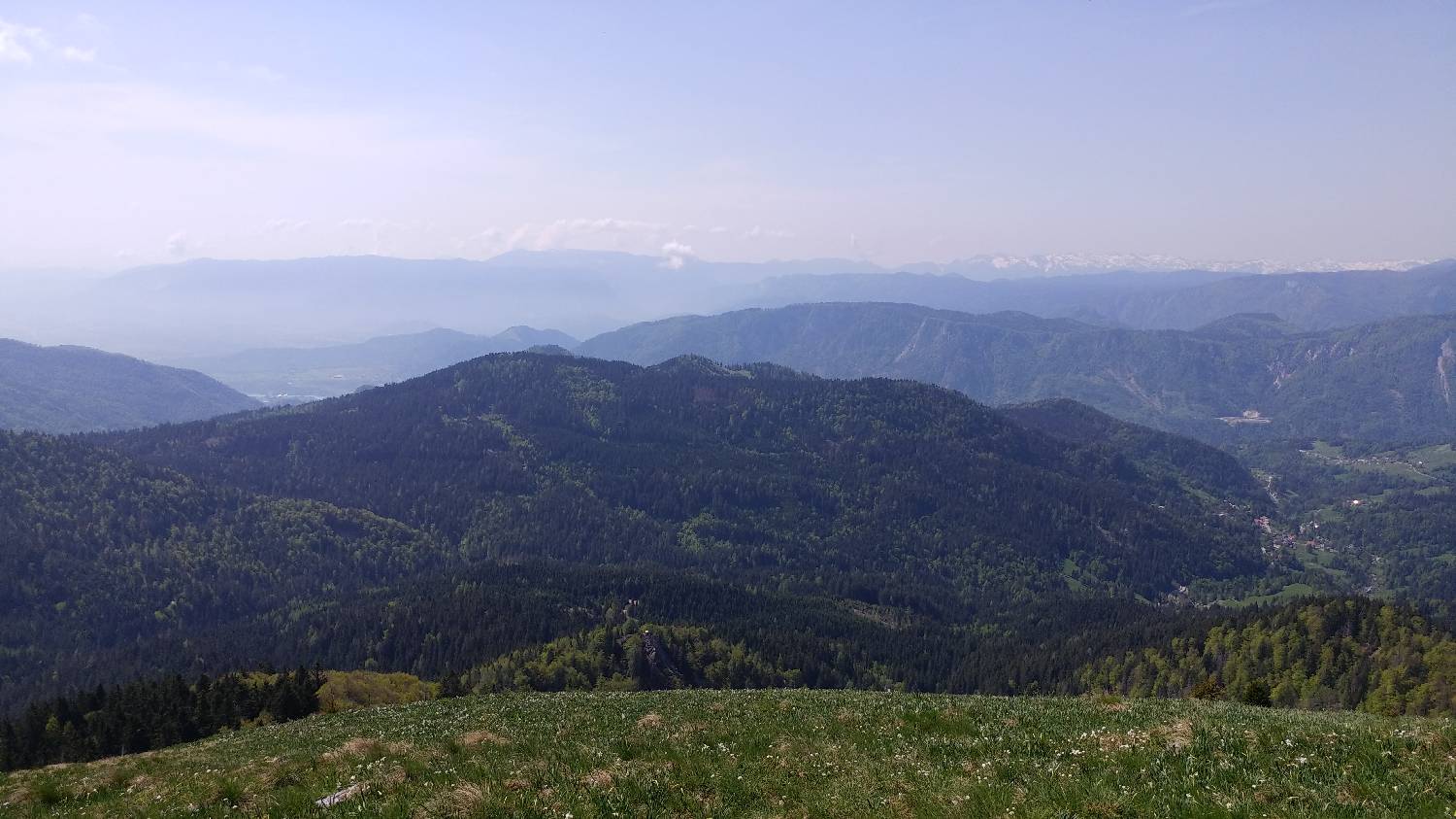
| Rating: | |
| Country: | Slovenia, Austria |
| Mountain range: | Karawanks |
| Trailhead: | Križovec (1222 m) |
| Destination: | Mala Golica (1646 m) |
| Trailhead latitude/longitude: | 46.4699 / 14.0839 |
| Destination latitude/longitude: | 46.4897 / 14.0642 |
| Difficulty: | Easy marked route  |
| Recommended equipment: | Hiking shoes Water |
If you are driving from Ljubljana towards Gorenjska, take the exit for Jesenice Vzhod and immediately after turn right towards Lipce. Continue along the main road, past the ASP Jesenice factory and shortly after, at the crossroads, turn right for Radovljica. There will be a semaphore-controlled junction where you will turn left, followed by two turns: the first one to the left again, the second one to the right. Then follow the forest road for a longer distance, as it climbs steeply. Shortly after Dom Pristava, which you will see on your right, you will come to a crossroads where you turn right. From here, continue driving to Križovec, which you will recognise by the junction of several roads and the car park next to it.
Trail description:Continue on foot along the road that leads past the cross. Walk for some time along this road, which slowly climbs up to the small mountain Pusti rovt with two huts. From here the road lays down a little, but we continue to follow it steadily. At the marked crossroads, keep to the left path, in the direction of Golice, which will soon lead us to Suhega sedlo. Here, turn right onto the grass track, which immediately starts to climb steeply. From here, turn right onto a grassy trackless path which will take you up to Mala Golica.
Additional tips:No additional tips.


