



Čiginj - Mengore (General)
0 h 45 min




 Weather
 Nearest webcam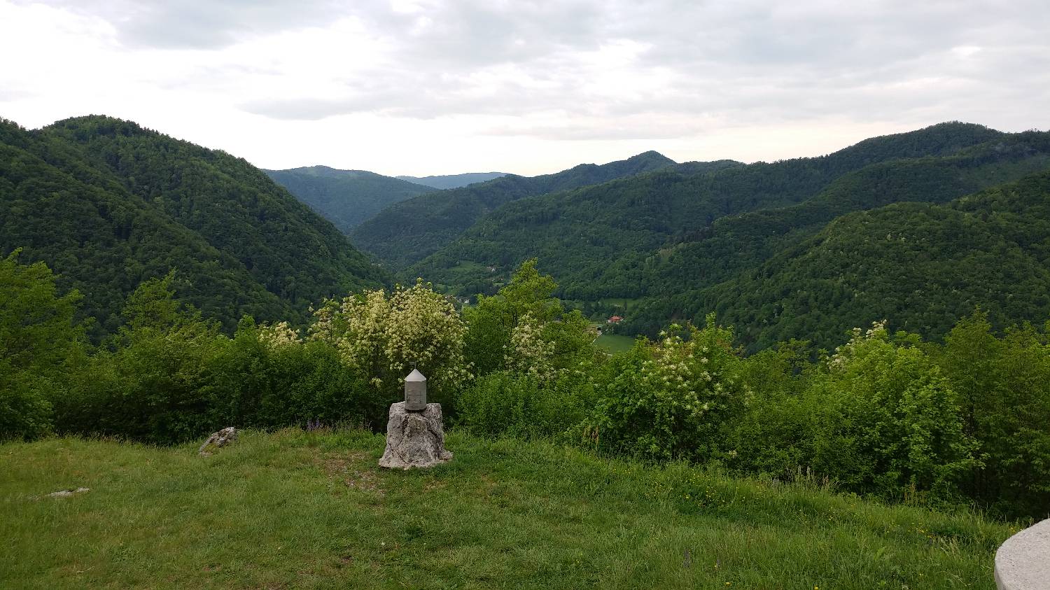
| Rating: | |
| Country: | Slovenia |
| Mountain range: | Julian Alps |
| Trailhead: | Čiginj (232 m) |
| Destination: | Mengore (453 m) |
| Trailhead latitude/longitude: | 46.1704 / 13.7096 |
| Destination latitude/longitude: | 46.1668 / 13.7218 |
| Difficulty: | Easy unmarked route  |
| Recommended equipment: |
If you drive from Tolmin towards Nova Gorica, just after the village of Volče, on the road leading to the village of Čiginj, you will see the Gostol TST factory on your right, and just a few hundred metres further on, there is a turn-off to the left. Immediately after the turn, turn left again, onto a dead-end road, where you park.
Trail description:Walk to the end of the car park, where you will see stone steps leading up into the forest. After entering the forest, you will see a small chapel. We continue straight on (and not towards Brce, where the signpost directs us). At first the path will be level, but it will slowly start to climb. We will soon see a sign for a lookout point on the ascending path. You can stop and observe the view, then continue along the path, which will lead you to a cart track. Turn right here and continue along the dirt track, which leads past a pothole. At the next crossroads, where there is also a signpost and a registration box, turn right onto the tarmac road. The road climbs steeply and leads to the summit.
Additional tips:No additional tips.
![[object Object] - [object Object] main photo](https://api.mountainsgeek.com/media/20190928_095043.jpg)
![[object Object] - [object Object] main photo](https://api.mountainsgeek.com/media/20190929_153750.jpg)
![[object Object] - [object Object] main photo](https://api.mountainsgeek.com/media/20191022_173007_HDR.jpg)


