



Gradišče pri Vipavi - Sv. Nikolaj (General)
0 h 35 min




 Weather
 Nearest webcam
| Rating: | |
| Country: | Slovenia |
| Mountain range: | The Goriška, Notranjska, and Snežnik Mountain Ranges |
| Trailhead: | Gradišče pri Vipavi (250 m) |
| Destination: | Sv. Nikolaj (438 m) |
| Trailhead latitude/longitude: | 45.8322 / 13.9709 |
| Destination latitude/longitude: | 45.8195 / 13.9822 |
| Difficulty: | Easy marked route  |
| Recommended equipment: |
From the motorway, take the exit for Vipava. Continue on the road leading to Vipava and then on to Gradišče. When you get to Gradišče, drive straight ahead at first and you will soon reach a crossroads - turn left here (signpost for the campsite). Keep going up the narrow road for a while and keep following the signs for the campsite. When you reach the campsite, you will see a large car park in front of it. Park here.
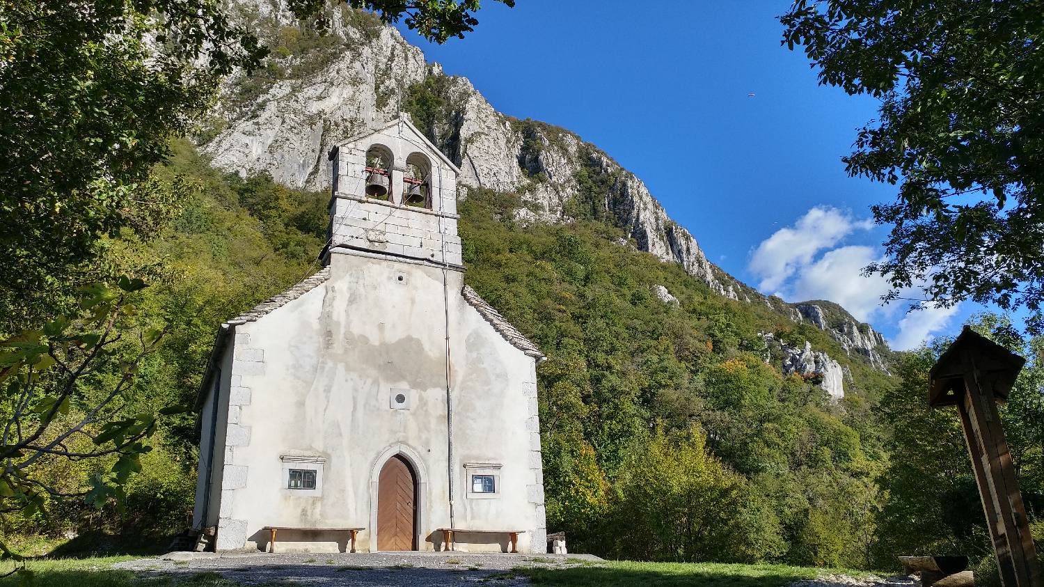
Trail description:Your journey will start along a pleasant forest path. It starts climbing right from the start. The path will be a little wider at first, but soon you will see a path climbing up on the forest floor on your left. Continue along it. You will soon come to a large board with a map of possible routes and climbing walls. You follow the direction for St Nicholas. From here on, the path will be more level. For the most enthusiastic, there is an opportunity to run. Every now and then the forest opens up and you can admire the view of the Vipava Valley. After a few minutes of walking, the view of the church will open up. We have reached the top. From the top, we can enjoy the view of the Vipava Valley and Nanos, as well as the higher hills nearby. Once we are relieved, the only thing to do is to go down.
Additional tips:No additional tips.


