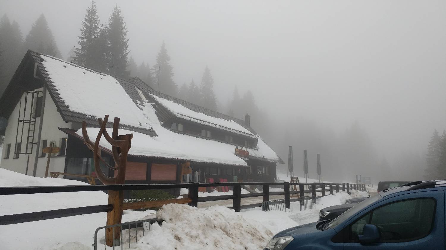
Zgornja brv (General)
1259 m




 Weather
 Nearest webcam
| Rating: | |
| Destination type: | Other |
| Country: | Slovenia |
| Mountain range: | Pohorje and the rest of northeastern Slovenia |
| Latitude/Longitude: | 46.481 / 15.36 |
| Number of trails: | 4 (see the trails here) |
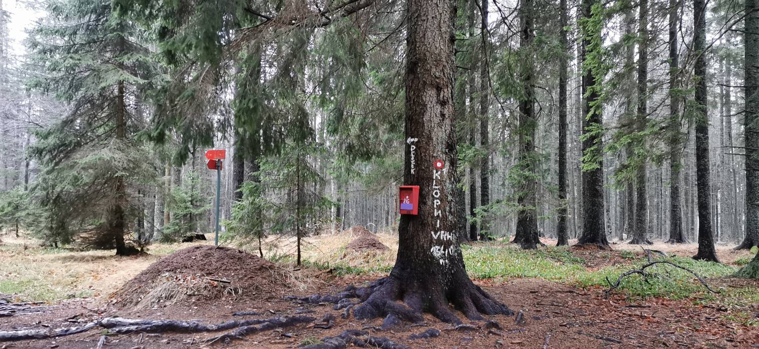
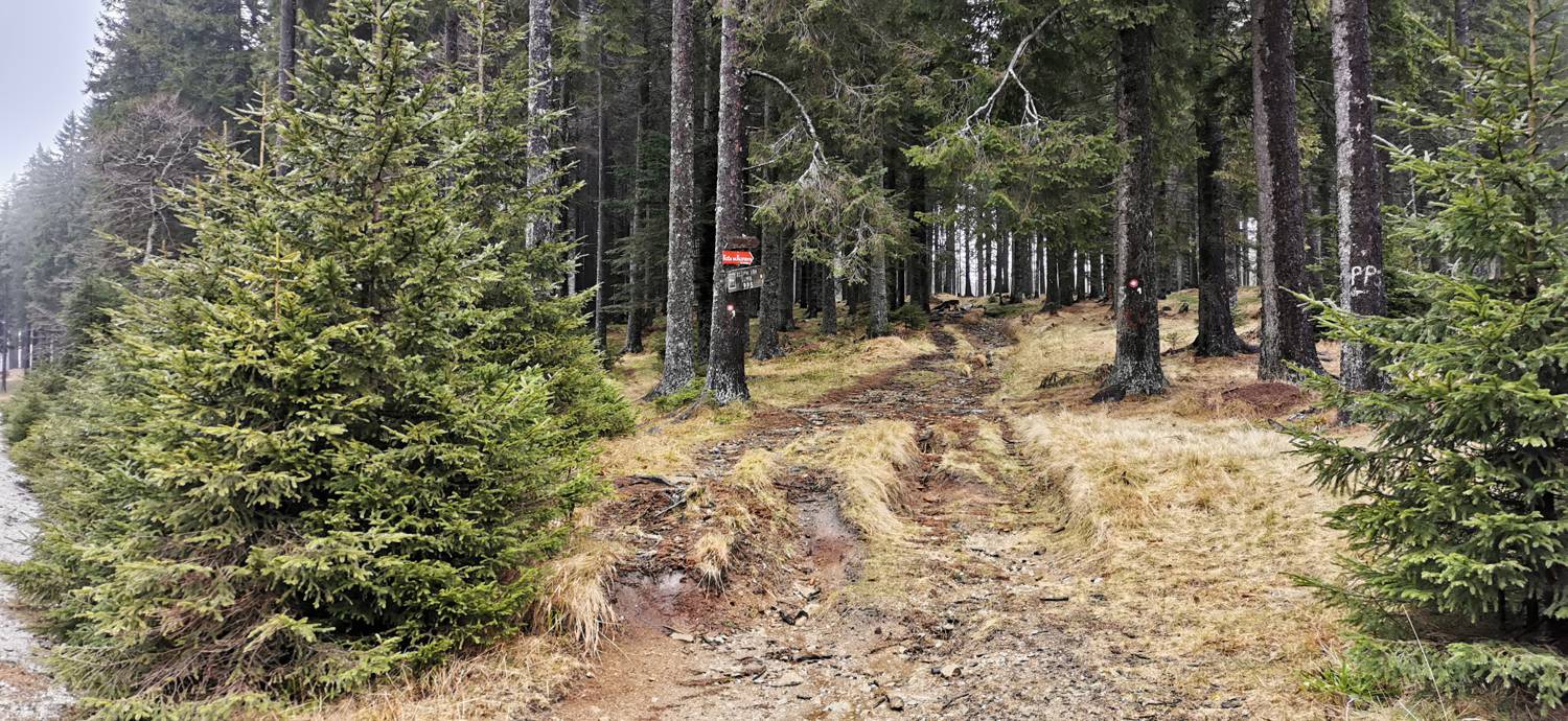
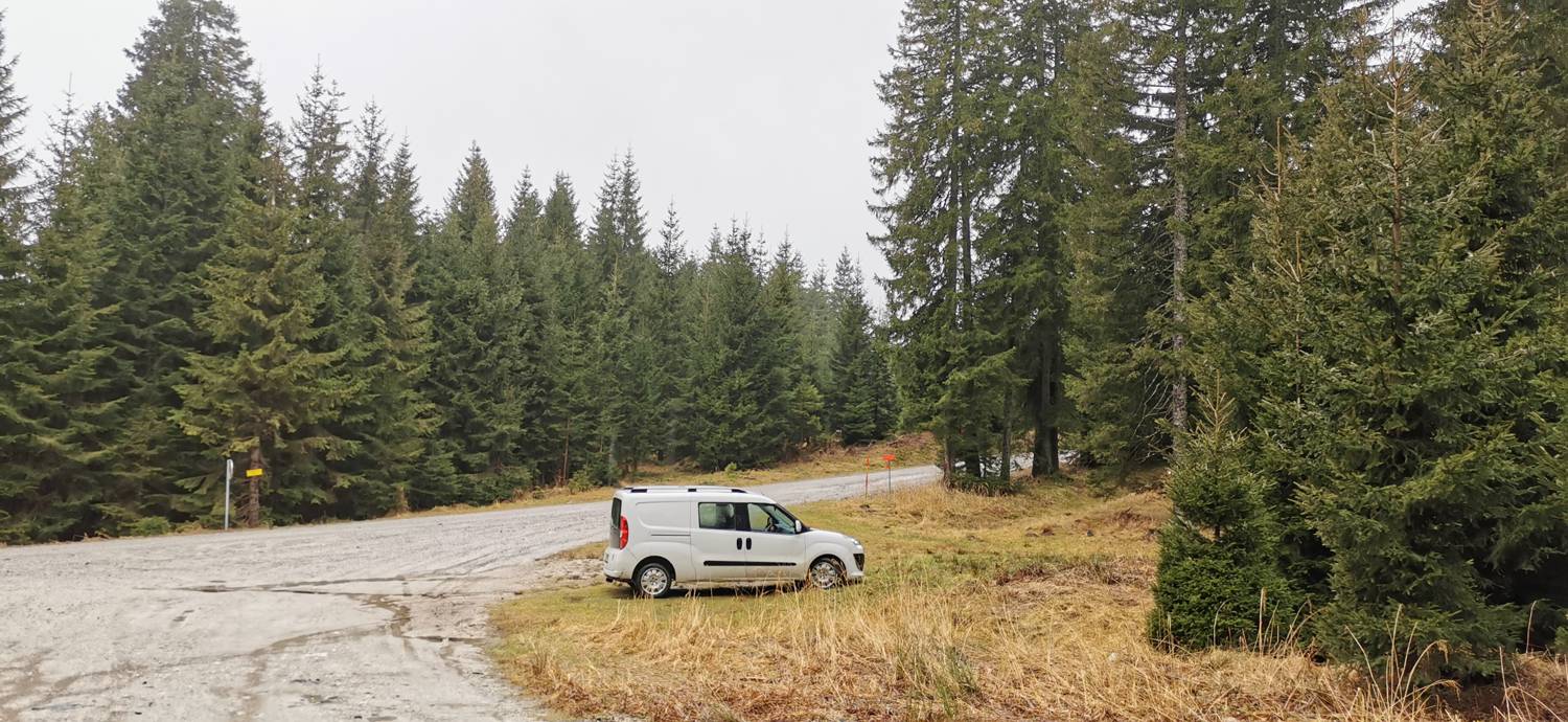
The starting point, Zgornja brv, is located on the trail from Koča na Pesku toward the village of Lukanja. You’ll recognize it by the large intersection where the road to Klopni vrh branches off, as well as by the hiking signs and the sign for Rogla, which is still 7 km away from here.
No check-ins.