Velika Raduha (General)
2062 m




 Weather
 Nearest webcam
| Rating: | |
| Destination type: | Peak |
| Country: | Slovenia |
| Mountain range: | Kamnik-Savinja Alps |
| Latitude/Longitude: | 46.4098 / 14.7378 |
| Number of trails: | 2 (see the trails here) |
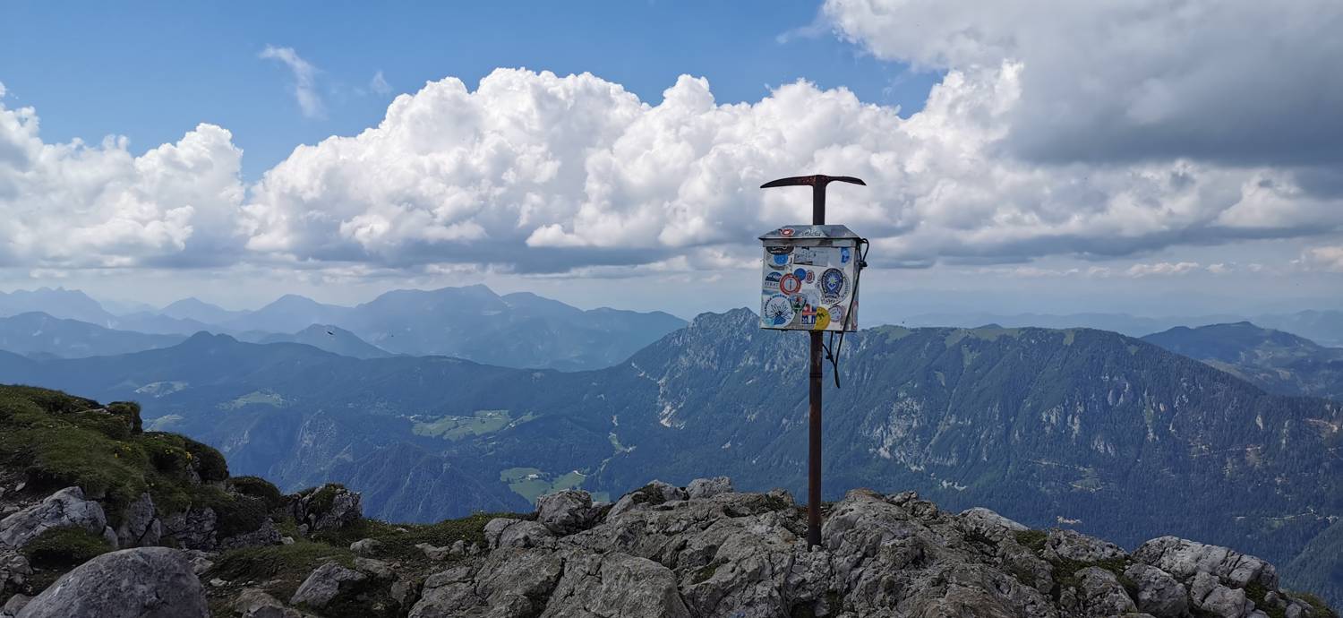
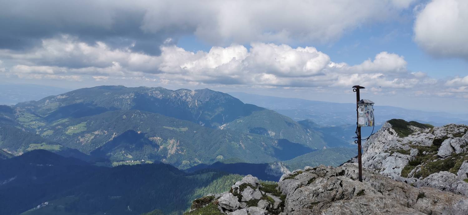
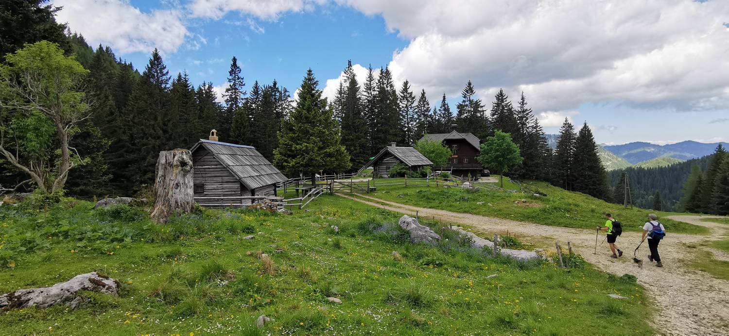
Velika Raduha is a 2,062-meter-high peak considered the highest in the Raduha mountain range. In addition to Velika Raduha, the range includes Jelovc, Srednji Lanež, and Mala Raduha. Numerous trails lead to the summit; some are easier and thus suitable even for less experienced hikers, while others are more challenging. From the summit, an exceptional view of the surrounding high mountains unfolds. The summit is part of the Slovenian Mountain Trail.