Loader Icon
General
General
General
Photos
General
Map
General
Webcams

Praprotnikova koča (General)

1380 m
Cloud icon Weather
Camera icon    Nearest webcam
Webcam Trzic › South-east: Vzletišče Kriška gora - Tolsti vrh
Praprotnikova koča main photo
Rating:
Destination type: Mountain Hut
Country: Slovenia
Mountain range: Kamnik-Savinja Alps
Latitude/Longitude: 46.3501 / 14.419
Number of trails: 0

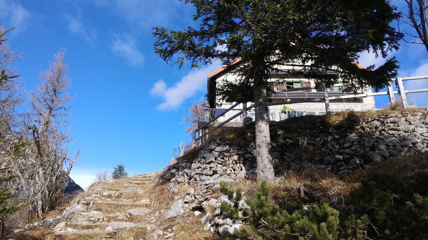
The Praprotnik Hut is located at an elevation of 1,380 meters, above the Zabukovec hydroelectric power plant. It is a small hut surrounded by forest. An easy forest trail leads to it. Due to the forest, there is no view.

Latest check-ins

No check-ins.


Trails

No trails have been added for this destination yet. Do you often visit this destination and know the trails leading to and from it?

Be the first to add a new trail here.
No comments yet.
Nearby destinations
Bašeljski vrh main photo

Bašeljski vrh

1744 m
Mali Grintovec main photo

Mali Grintovec

1813 m
Licjanovec main photo

Licjanovec

1733 m
Storžič main photo

Storžič

2132 m
Planinski dom na Kališču main photo

Planinski dom na Kališču

1534 m