Loader Icon
General
General
General
Photos
General
Map
General
Webcams

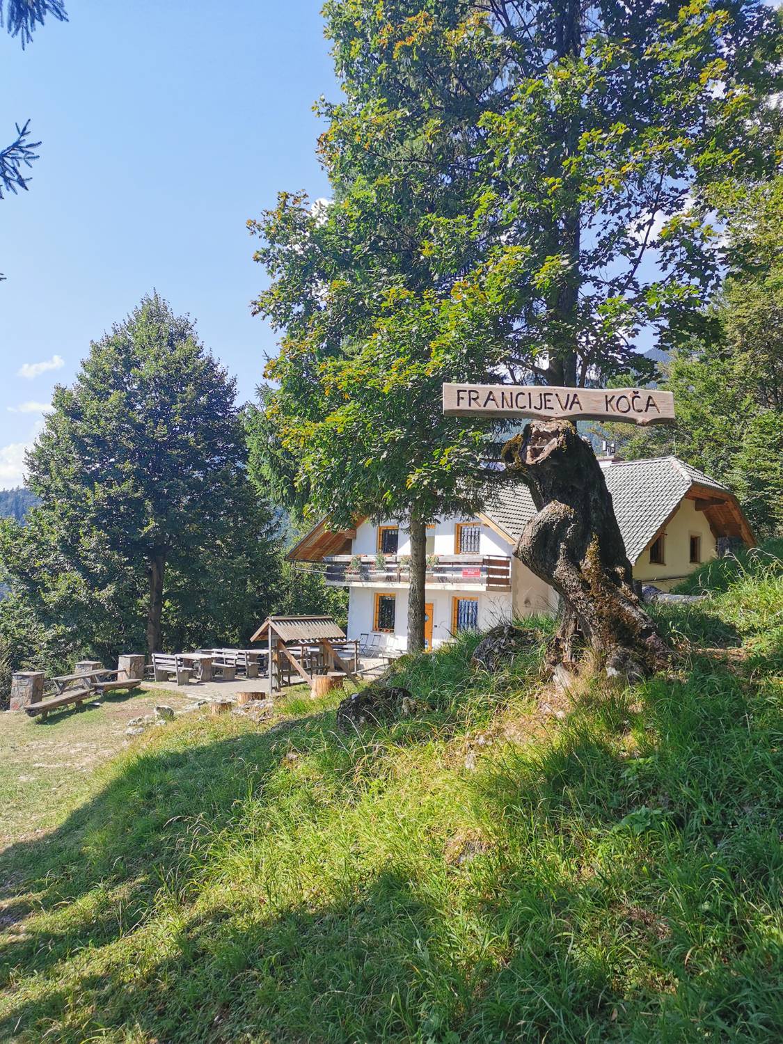
Planinska koča pri Franciju (General)

930 m
Cloud icon Weather
Camera icon    Nearest webcam
Webcam Kriska planina: Krvavec
Planinska koča pri Franciju main photo
Rating:
Destination type: Mountain Hut
Country: Slovenia
Mountain range: Kamnik-Savinja Alps
Latitude/Longitude: 46.3151 / 14.4387
Number of trails: 0

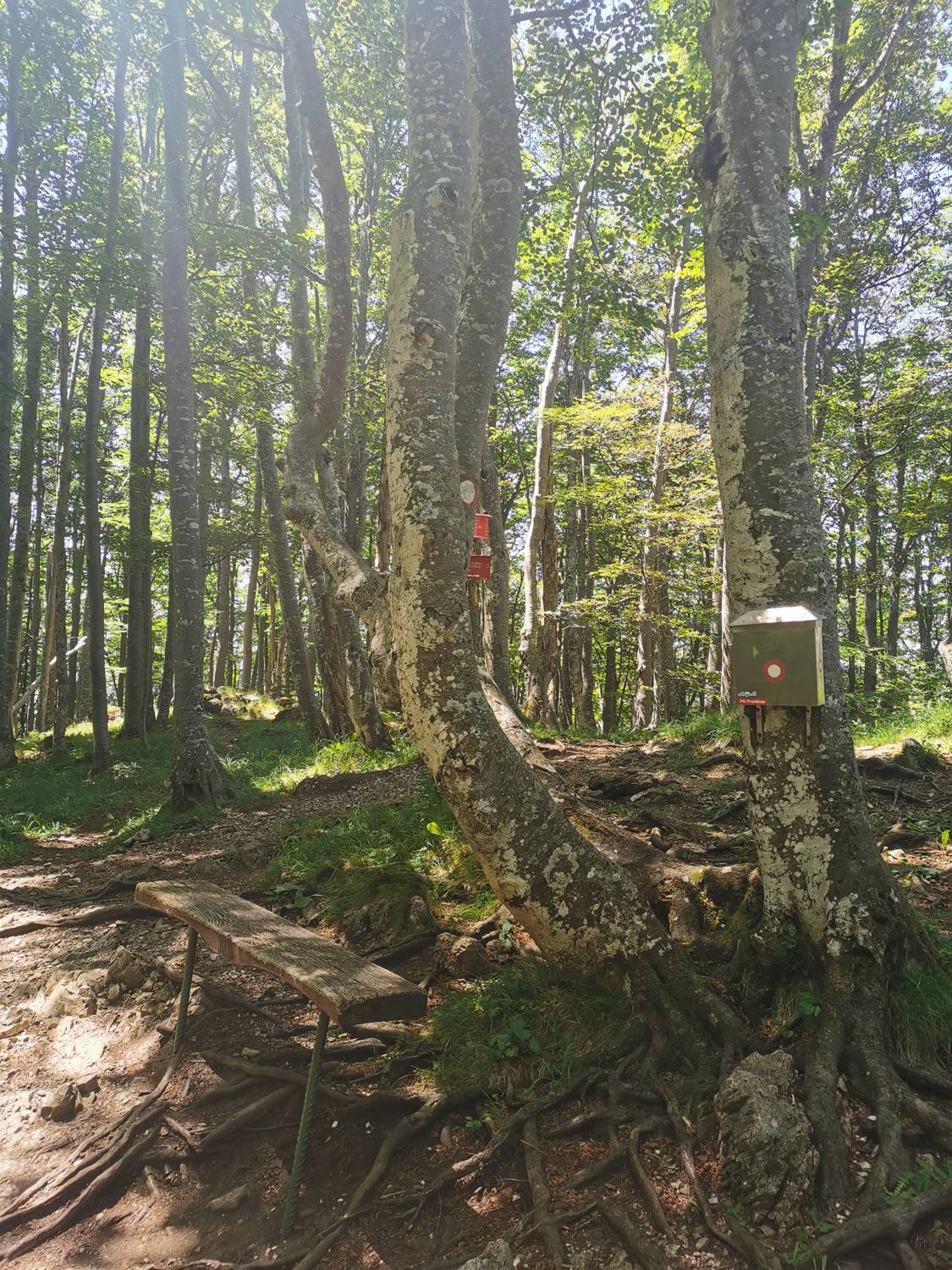
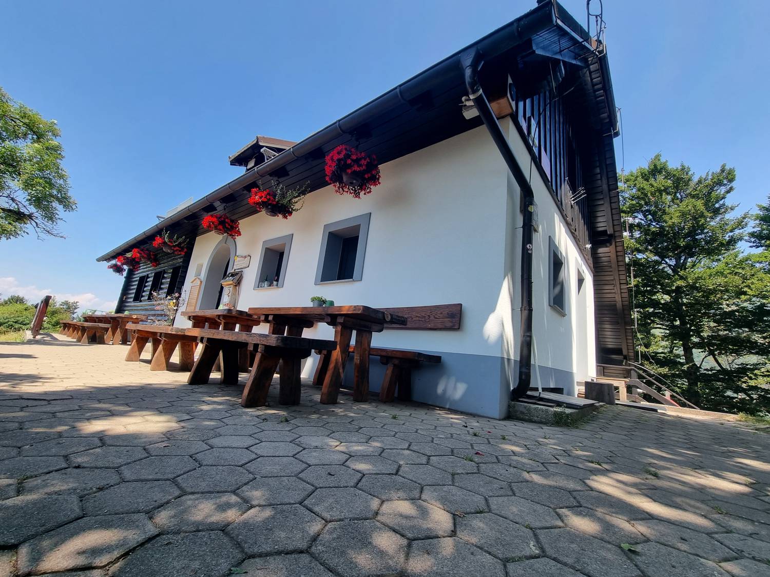
The Francija Mountain Hut is located at an elevation of 930 meters above sea level, above Potoče. Several easy, short trails lead to it. The hut is partially surrounded by a forest, which partially obstructs the view.

Latest check-ins

1 / 30
UserCheck-in time
Maticko3307.10.2026, 16:31
Maticko3306.10.2026, 16:26
Maticko3302.10.2026, 16:15
Maticko3330.09.2026, 16:32
Maticko3329.09.2026, 16:38
Maticko3323.09.2026, 16:22
Maticko3322.09.2026, 16:07
Maticko3320.09.2026, 15:09
Maticko3308.09.2026, 16:14
Maticko3305.09.2026, 16:11

Trails

No trails have been added for this destination yet. Do you often visit this destination and know the trails leading to and from it?

Be the first to add a new trail here.
No comments yet.
Nearby destinations
Planinska koča Iskra na Jakobu main photo

Planinska koča Iskra na Jakobu

961 m
Senčnica Josipine Turnograjske main photo

Senčnica Josipine Turnograjske

635 m
Potoška gora main photo

Potoška gora

1283 m
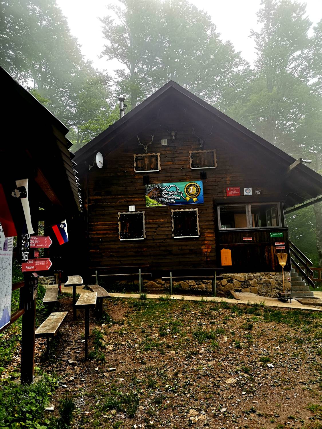
Zavetišče v Hudičevem borštu main photo

Zavetišče v Hudičevem borštu

1328 m
Mače main photo

Mače

600 m